Saturday, 18 December 2010

Sunday, 17 October 2010
return
Sunday, 20 June 2010
We in Forest Ecology team of GAU are about to answer some of these questions.
Thursday, 5 November 2009
Ancient tree

Taxus baccata (Persian: Sorkhdar, English: yew, German: Eibe) is an important evergreen species in Iran’s north humid forests (Hyrcanian forests) and is in Red Data Book of Iran, so is protected as an endangered tree species.
In north of Iran, T. baccata is found in a wide range of altitude, but mostly between 900 – 1400 m, in grouped form, and from 50 to 2600 m individually. Due to its valuable wood quality (particularly color and strength) has been wiped greatly form many parts of its native stands especially in flat areas and vicinity of cities, thus its habitat has been limited to some mountainous and highland areas. There are several noteworthy T. baccata stands in Hyrcanian forests like Afra Takhte with an area of about 350 ha, Which contains some specimen with the height of 30 m and diameter of 2 m (and some specimens with the age of about hundreds of years). All T. baccata stands in Iran are protected as a reserve and any kind of cutting, grazing and traffic are prohibited inside the area.
Friday, 17 July 2009
The south tour
Its purpose was to visit Iran’s other vegetation status and natural resources specially forests.
We have already heard some thing about it, but its final approval surprised us. In this trip we crossed the middle of Iran toward south and reached coast line of Persian Gulf, then went to the west and finally backed to the home in the north (path shown in the map). During this 9 days trip we saw many different scenes, humid north forests, high mountains, steppes, sand desert, Persian Gulf seashore, mangrove ecosystem, western oak forest, old cities, historical places like persepolis and many other things.
I have taken many photographs that you can see some of them here.

Our campus, faculty of forestry and
wood technology, the start of our trip

University bus, the vehicle which took
us to the farthermost places ever I have been .

Highland of the Elburz mountain range
(an alpine ecosystems)

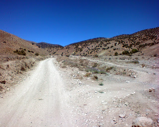
Mountain road in the Elburz mountain range toward the south

A wild tulip in the Elburz

South of the Elburs,
The end of the forest and
start of semi arid & arid areas

Exploring in Kavir!

A desert flower bloomed

a mosque in the middle of desert which serves passengers

Camel trace

A pistachio tree, once there were significant forests of this species in Iran's center.

Eventually we have reached Bandar Abbas at night, after several days and hours of driving.

The day after we went to Gano mountain dozen of kilometers in north of Bandar Abbas, a protected area in which many rare and valuable animal and plant species live.


At the Gano mount there was a site belonging to Iran Department of Environment in which some injured animals were kept. This is an Iranian deer (Gazella dorcas).

In the 2nd day of our presence in Bandar Abbas we went to Bandare Khamir, a small town and port in west of Bandar Abbas to visit some mangrove forest.

Toward mangrove forest!


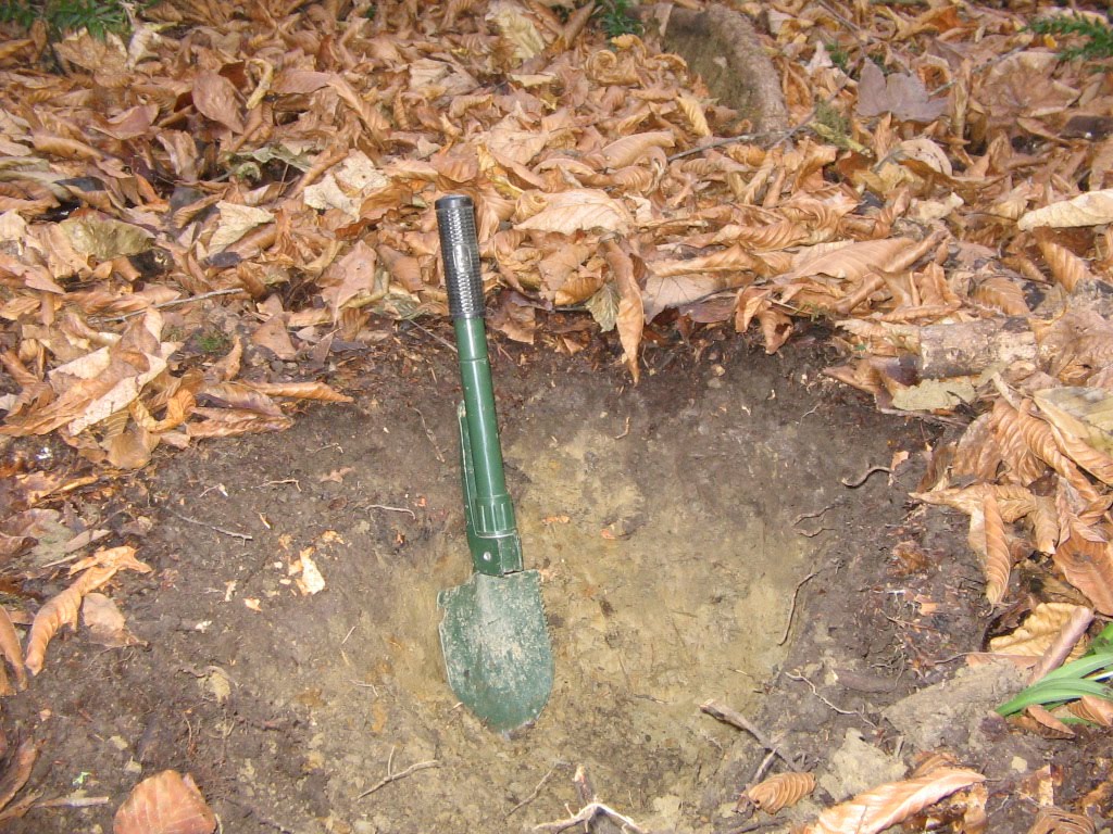
We also have taken some soil samples from mangrove in order to analyze them in our university lab.

The last night in Bandar Abbas before leave it for Shiraz (5th day of our tour)

Shiraz, Hafiz Tomb, one of Iran's most famous poets (6th day of our tour)

Persepolis, an Iranian ancient city near shiraz

This province has several good forests (mostly oak forest)

Our last destination was province of Kohkiluye & Buyer Ahmad (would better to call K & B) and its capital Yasooj, a green province where mostly covered with forests (some species like oak, acer, amygdalus and ...).


This forests are under intense grazing and human activities and finding a natural regeneration is not easy, this is a natural seedling.
That was the end of our travel and we will back home after about 9 days. Thank God.
Thursday, 26 March 2009
From the humid forest to the arid steppe (a motorcycle journey)
Thus in a rather few distance we can find several different climates and vegetation status, like fertile alluvial seashore, humid temperate forests, mountainous forests, alpine and semi-alpine ecosystems (all of them in the north part of the Elburz), and in the southern part of Elburz steppes, arid and semi-arid areas and finally sand deserts (all in a profile with about 150 km length).
That was my childhood dream to go and explore the southern parts of the Elburz, and during my education period it became a scientific purpose. Eventually in August 2008 I faced a good fortune to accomplish it. So I organized a journey, provide enough supply and moved on at early morning. I have seen many different scenes, which some of them are visible in the below pictures.
During this journey I have crossed from several villages and districts e.g. Lai, Zenget, LaterGaz, Badabsar, Tajerkhil, Lend, Nemeke and Kelate.

The start of journey from the Caspian see beach (north of city of Behshahr)

Northern slopes of Hyrcanian forest

Toward the south

The Elburz highland areas (in Hezar Jarib district)

A mountainous village ( Bande Ben )

The end of the broadleaf forest and beginning of the juniperus forest (Changi)

A fountain, a nice place for thirsty and tired explorer like me!
The south of the Elburz
(mostly covered by junuperus species and shrubs)

Its me, an inexhaustible explorer toward new worlds!

Steppes in south of the Elburz range, it seems to be endless.

An old castle in the area (called Nemeke)

A salt lake in the south of th Elburz range (called Soort)
At the end I gratefully thank Mr. Ali Baghery who have helped me with this journey and was responsible for motorcycle.


